Sector F, Noida
+91 9891555001 / 9311475175
info@mytechpro.co.in

3D Mapping & Photogrammetry

Advanced 3D mapping and photogrammetry solutions that transform drone and aerial imagery into accurate 2D maps, 3D models, point clouds and digital terrain information.

Request Survey
3D MAPPING & PHOTOGRAMMETRY

Transform Aerial Images into Accurate 3D Digital Models

MyTechPro provides professional 3D mapping and photogrammetry services using high-resolution drone imagery, aerial survey technology, GIS and advanced photogrammetric processing.

Our solutions convert overlapping aerial photographs into accurate orthomosaics, point clouds, digital surface models, digital terrain models and detailed 3D representations of land, buildings, infrastructure and project sites.

✔ Drone-Based Photogrammetry
✔ High-Resolution Orthomosaic Mapping
✔ 3D Point Cloud Generation
✔ Digital Surface & Terrain Models
✔ 3D Terrain & Infrastructure Modeling
✔ GIS Integration & Spatial Analysis
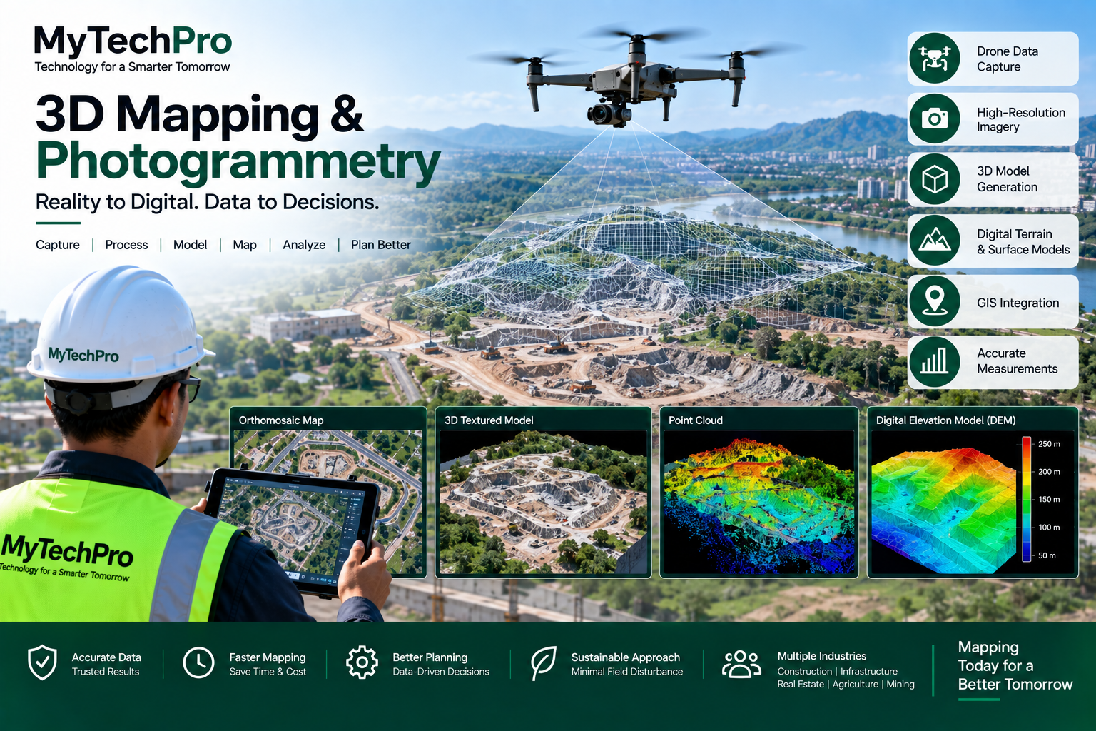
3D Mapping and Photogrammetry
OUR 3D MAPPING SERVICES

Advanced Mapping & Photogrammetry Solutions

Capture, process and visualize real-world environments using modern aerial mapping and photogrammetric technology.

Orthomosaic Mapping

Generate high-resolution georeferenced orthomosaic maps by processing multiple overlapping aerial images captured using drones.

3D Model Generation

Create detailed three-dimensional models of land, buildings, structures, construction sites and infrastructure.

Point Cloud Generation

Produce dense 3D point clouds for terrain analysis, structural visualization, measurements and engineering applications.

Digital Terrain Models

Develop accurate Digital Terrain Models and Digital Surface Models for elevation analysis, planning and engineering projects.

3D Terrain Mapping

Visualize terrain, slopes, contours, elevation and natural features through interactive three-dimensional mapping.

GIS & Spatial Integration

Integrate photogrammetric outputs with GIS platforms for spatial analysis, asset mapping and infrastructure management.

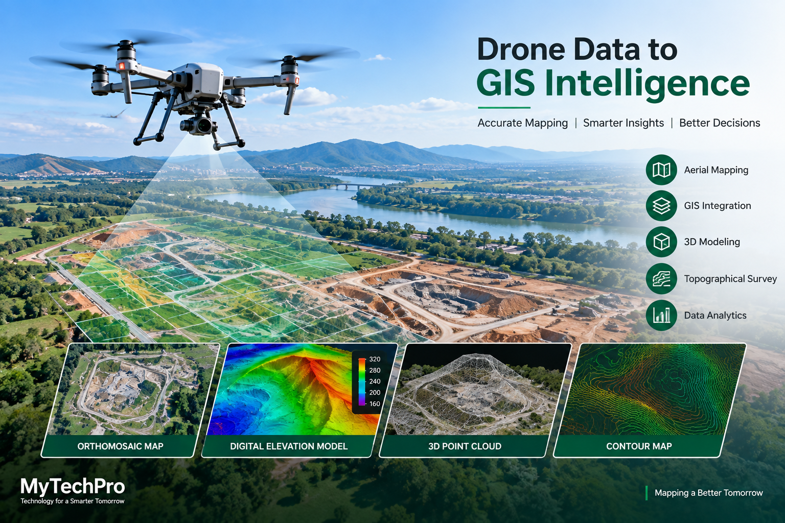
Drone Photogrammetry and GIS Mapping
DRONE PHOTOGRAMMETRY

High-Accuracy Aerial Data Processing

Drone photogrammetry uses multiple overlapping aerial images to reconstruct real-world objects and landscapes in three dimensions.

MyTechPro processes drone imagery to create measurable, georeferenced digital datasets that can support surveying, engineering, construction, infrastructure inspection and GIS applications.

✔ High-Resolution Drone Photography
✔ Image Alignment & Processing
✔ Georeferenced Mapping
✔ Dense Point Cloud Generation
✔ Orthomosaic Production
✔ 3D Reconstruction
DIGITAL OUTPUTS

From Aerial Data to Actionable Information

Orthomosaic

High-resolution, georeferenced aerial maps for accurate visualization and measurement.

Point Cloud

Detailed 3D point cloud datasets representing terrain, structures and physical assets.

3D Model

Three-dimensional digital representations of buildings, terrain and infrastructure.

Elevation Data

Elevation, contour and terrain datasets for engineering and planning applications.

APPLICATION AREAS

Where 3D Mapping & Photogrammetry Can Be Used

Our aerial mapping solutions support a wide range of surveying, planning, engineering and infrastructure applications.

Construction

Site mapping, progress monitoring, earthwork measurements, terrain modeling and construction documentation.

Roads & Highways

Corridor mapping, terrain analysis, road alignment, construction monitoring and infrastructure modeling.

Buildings & Real Estate

Property mapping, building modeling, site visualization and development planning.

Infrastructure

3D mapping of bridges, utilities, industrial assets, structures and other critical infrastructure.

Agriculture

Terrain mapping, field modeling, drainage analysis and aerial visualization of agricultural land.

Industrial Sites

Digital site modeling, asset visualization, inspection support and spatial planning for industrial facilities.

OUR WORKFLOW

From Flight Planning to 3D Digital Model

01. Plan

Define the survey area, required accuracy, flight parameters and mapping objectives.

02. Capture

Capture high-resolution overlapping aerial imagery using professional drone surveying equipment.

03. Process

Process imagery using photogrammetric workflows to generate maps, point clouds and 3D datasets.

04. Deliver

Deliver digital maps, 3D models, elevation data, GIS layers and detailed survey documentation.

KEY BENEFITS

Smarter Mapping Through 3D Geospatial Data

Detailed Spatial Information

Capture detailed visual and spatial information from large and complex project areas.

Faster Data Collection

Drone-based mapping can cover large areas efficiently while reducing traditional field data collection requirements.

Measurement & Analysis

Use digital models and spatial datasets for measurements, terrain analysis and project planning.

Better Visualization

View complex sites and infrastructure through interactive maps and three-dimensional models.

GIS Ready Data

Integrate mapping outputs with GIS platforms and spatial databases for further analysis and management.

Better Project Decisions

Convert aerial survey information into actionable data that supports planning, monitoring and management.

Need Accurate 3D Mapping for Your Project?

Get professional drone mapping, photogrammetry, 3D modeling and GIS solutions from MyTechPro.

Request a Survey